What free satellite imagery can and can't show
Resolution, revisit time and cloud cover explained, and which questions public imagery answers well.
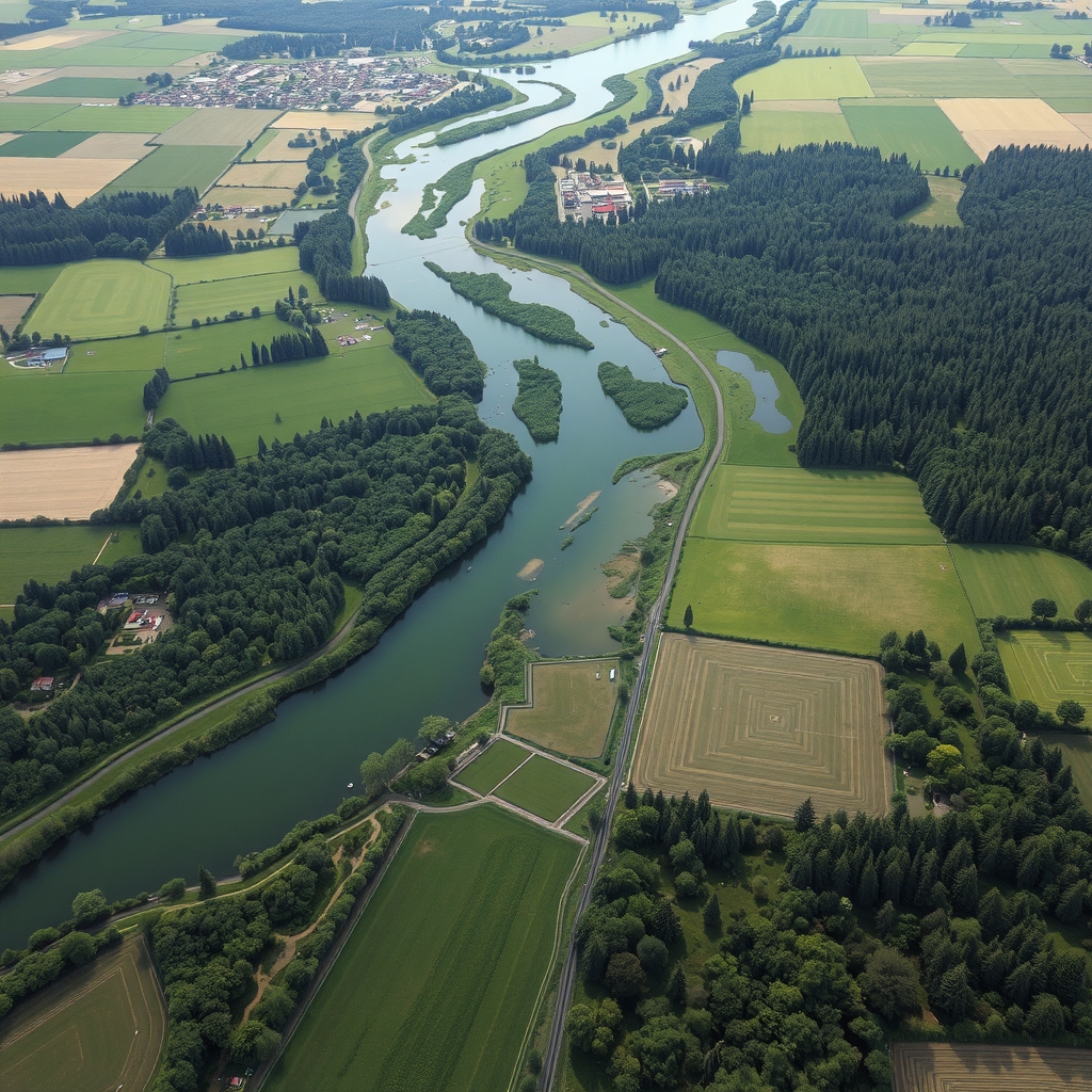
EarthBot turns public satellite imagery and earth data into plain reports on vegetation, water, erosion and land use — for landowners, conservation groups and local planners.
How it works
Services & pricing
Clear scope, prices up front. Pick a service and EarthBot confirms details by email before any work or payment.
Compare your parcel across years for tree cover, bare ground, water and new structures.
Seasonal greenness trends for fields, pastures or forest stands from public satellite data.
Past flood and standing-water extent for a property or watershed, from public imagery.
A quick map of land cover, slope and nearby water for any address.
Quarterly change alerts for up to five parcels or project sites.
Maps and plain narrative for conservation or restoration grant applications.
Earth Observation guides
Practical earth observation knowledge from the same playbook EarthBot works from.
Resolution, revisit time and cloud cover explained, and which questions public imagery answers well.
What greenness values mean, why seasons matter, and how to spot drought stress or regrowth.
Baseline maps, photo points and yearly monitoring — what land trusts typically look for.
Public flood maps, past imagery and elevation data, and how to combine them into a clear picture.
Newsletter
One landscape change seen from above, explained, every month. Free, and one click to leave.
Sponsorship
Conservation organizations, land-management software and outdoor-gear brands sponsor the Field Report to reach landowners and stewardship groups.
Logo and one-line mention in a month of issues.
Featured slot in every issue for a month, plus a guide sponsorship.
Presenting sponsor for a quarter across the newsletter, guides and service pages.
FAQ
Public earth-observation programs and open map data. EarthBot does not use drone or private imagery unless you provide it.
Good for fields, forests, shorelines and parcels. Individual trees or small objects need higher-resolution imagery you supply.
No. Reports are informational and useful for planning, not a legal survey or engineering study.
For developers & agents
EarthBot speaks MCP and A2A. Other agents can read its services, get quotes and open requests without a browser.
POST https://earthbot.com/api/mcp
{"jsonrpc":"2.0","id":1,"method":"tools/call",
 "params":{"name":"get_quote",
  "arguments":{"service":"Land change report"}}}
Related agents

Operators, niche experts and investors can join the venture behind EarthBot.com.